Native Village
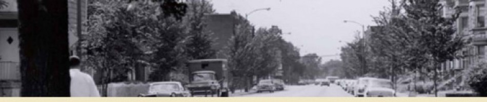
Early maps indicate a Native American encampment in Uptown along what is now Wilson Avenue. The encampment was located somewhere east of Clark Street, which is still about two blocks further east.
We know it was east of Clark Street because Clark Street is an old trail leading to Green Bay. Clark Street exists on what were once low sand ridges formed between the North Branch of the Chicago River and Lake Michigan.
And we know because there were archaeological finds documenting the village.
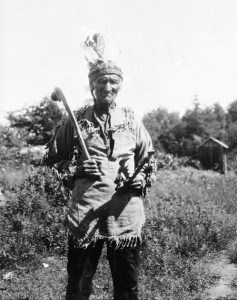
This photo from 1928 is of a Potawatomi Chief named Dick King. Taken on Parry Island, Ontario by Frederick Johnson. Credit: Smithsonian Collections
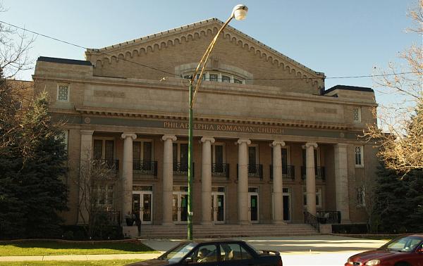
The name Ravenswood, as well as its boundaries, have been subject to a long-standing, but generally good-natured debate for decades. The nearby village may have been led by a Potawatomi chief named Raven. Pat Butler, in his Hidden History of Ravenswood and Lake View1 suggests this was actually Potawatomi Chief Black Partridge.
Black Partridge, his native name was Mucktypoke, warned Fort Dearborn’s commander, Captain Nathan Heald, that young Potawatomi warriors were upset that the post had destroyed excess arms and whiskey in anticipation of leaving the fort.2
That destruction violated a verbal agreement that might have led to safe passage of the Heald party to Fort Wayne.
But it was too late. Retreating from Fort Dearborn, Heald led the US forces into a battle along the lakefront that has become known as the Fort Dearborn Massacre and more recently the Battle of Fort Dearborn.
Chief Mucktypoke is considered a hero of the battle, having saved Margaret Helm, the wife of the fort’s lieutenant, from being tomahawked.3
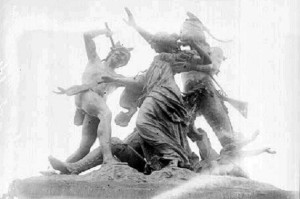
This statue, originally called “The Fort Dearborn Massacre”, was placed on the site of the battle by property owner George Pullman about the year 1893. The bronze work by Carl Rohl-Smith fell into disrepair. In 1931 it was acquired by the Chicago Historical Society and moved to the lobby of the museum.
In 1972 the subtitle “The Potawatomi Rescue” was added to the monument. It was returned to Prairie Avenue in the 1980’s, according to historian John Schmidt. It was removed from the Clarke House grounds in 1997, being put in storage. The statue and the subject of the American relations with native nations remains a politically sensitive subject. Credit: Library of Congress/ Chicago Daily News with the closeup provided by WBEZ.
The incident, however is loaded with political overtones and meanings. For example, a statue of the famous rescue has moved about Chicago from the home of George Pullman in the Prairie Avenue District, to the lobby of the Chicago History Museum, back to the Prairie Avenue District and is currently warehoused by the city.4
Discussions about exhibiting it at the new park opened at the battle site were snuffed.
In any case, the name of the village of Ravenswood may derive from the native chief of the village that was once near here. After the jump we’ll discuss a few other ideas on this subject.
Continue Reading